Google has been taking its StreetView cameras to some pretty interesting locations recently. There was the world’s tallest skyscraper, the Eiffel Tower, a Bond villain’s lair and now a trek up to the top of Mount Fuji using the Trekker backpack first tested at the Grand Canyon, reports the Google Maps blog.
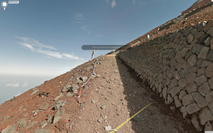
This newly elevated status from UNESCO is likely to send a record number of climbers to Mt. Fuji during the summer’s official climbing season. To help them prepare for the grueling trek over loose igneous rock, we hauled the Street View Trekker up all 3,776 meters of Mt. Fuji, and today we are launching the resulting 360-degree panoramic imagery. The Street View collection covers the highly popular Yoshida trail that takes hikers up the mountain, the full walk around the crater at the top, and the quick zigzag descent.
In all, the virtual tour contains a staggering 14,000 panos. The blog also links to a bunch of other UNESCO World Heritage Sites in Japan.